Sent to William Pratt / cc Cllr Stuart Hughes (Devon County Council Cabinet Member for Highway Management) > Cllr Henry Gent (Broadclyst), Cllr Tracy Adams (Pinhoe)
10th November 2021
“Please can you confirm the situation regarding updates to the Pinhoe Area Access Strategy (PAAS) Addendum
I have the following requests for information:
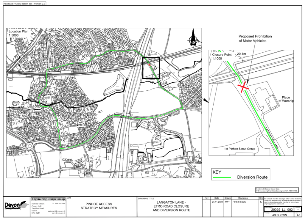
LANGATON LANE
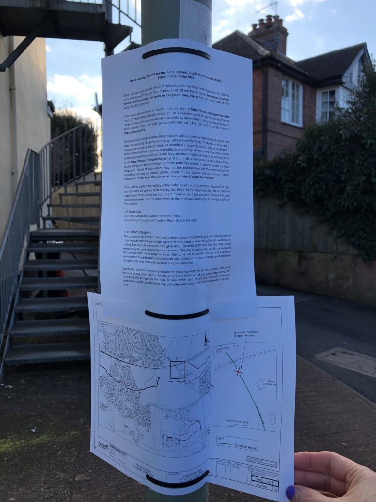
With ECC Local Plan consultation about to close, we are looking to provide information to our community regarding plans for Langaton Lane, specifically provisions for its development as a relief mechanism for traffic travelling through the centre of the village included in recent planning applications, apparently in opposition to the Exeter Transport Strategy which identifies Langaton Lane as a Green Lane.
While some residents in the immediate vicinity have been in touch with both Cllr Adams and Cllr Gent to advise of their support for closure to vehicular traffic, there is wider concern from residents in the larger context of Pinhoe, Monkerton, Tithebarn and Westclyst who note this route was an important part of resilience measures for Pinhoe’s village centre in DCC’s strategic document.
The Forum has measured over 1200 vehicles per hour crossing the double roundabouts during rush hour; these measurements were restricted to traffic travelling across the roundabouts in the direction of Cumberland Way and Westclyst, and did not include traffic travelling between Station Road and Church Hill which would further increase traffic volumes. Working with researchers at the University of Exeter, we are beginning a new project to measure air and noise pollution in this location and others, and are expecting levels significantly above safe guidelines. As we’re collecting data which will be shared as a developing community resource, we are keen to share our methodology and results with you.
SAFETY CONCERNS
It is welcome news that the pedestrian crossing long promised for the top of Parkers Cross Lane is now agreed. However there are significant problems with traffic management in Pinhoe since the loss of the Exhibition Way link road. I must draw your attention to the following immediate safety concerns:
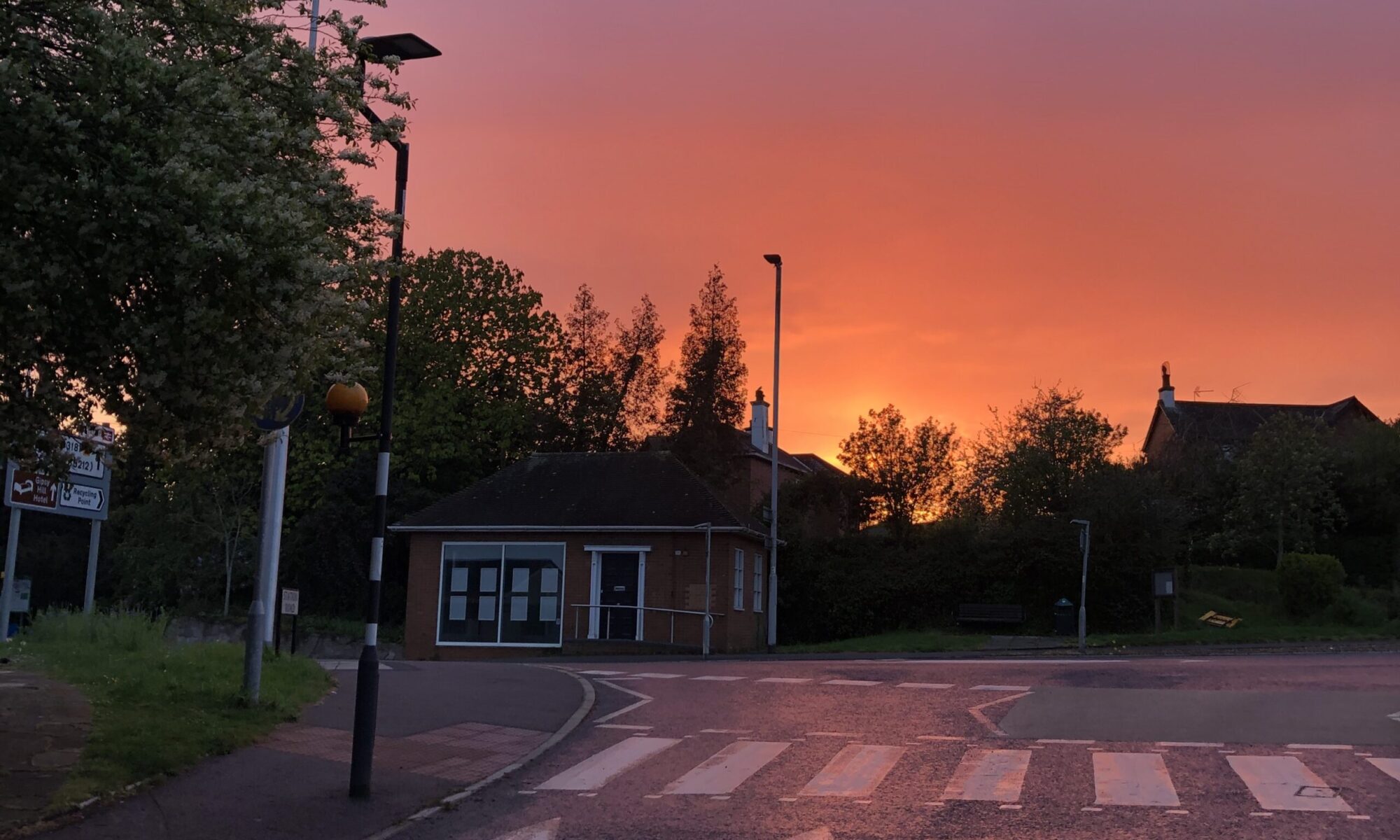
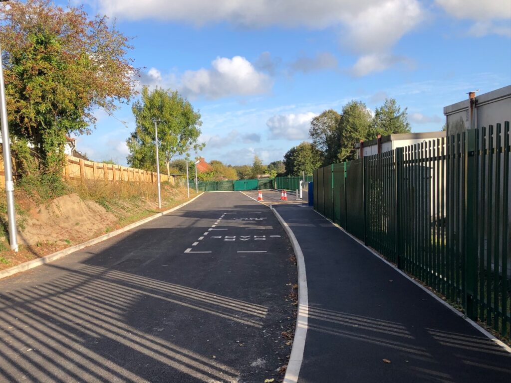
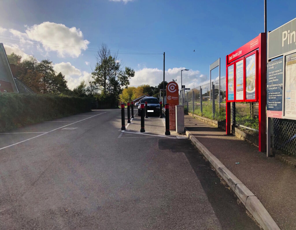
• Railway bridge vehicular and pedestrian crossing at Venny Bridge: extensive and increasing use of this route is a major and urgent safety concern not addressed by PAAS and addendum documents
• Traffic management on Church Hill: cycle paths and provisions for pedestrians have been lost, while vehicular traffic has increased exponentially as a route connecting Stoke Woods / Tiverton / Crediton to the M5 / A30
• Tithebarn Way: the junction with Pinn Lane is unsafe and, as the location of a fatal accident, residents are calling for raised pedestrian crossings to mitigate traffic speeds and a new road layout which prioritises pedestrian safety
Importantly, these are not the only safety concerns. As a commuter gateway to Exeter, Pinhoe is used as the connection from Mid-Devon to the M5 and there are huge volumes of traffic crossing Pinhoe from East Devon to access Cumberland Way. Moreover, Pinhoe sits as the connection to the East Devon Growth Point, the M5 and the A30. with considerable development underway and further proposed.
NEW STRATEGY VISION
The Forum is calling for a new, sustainable vision for traffic management in Pinhoe, which incorporates the Westclyst, Monkerton and Tithebarn areas. We believe the PAAS and addendum documents are outdated, unsafe and perpetuate dangerous assumptions regarding levels of use and infrastructure resilience. They do not reflect current policy ambitions for sustainable active travel.
In light of the climate emergency and DCC’s Net Zero and Low Carbon directives, we believe there is tremendous local support for change.
The Forum offers consultative support and community connection through our well-established networks. As the Forum moves to social enterprise as part of The Pinhoe Collective, data from our consultations will be included as part of the Exeter Data Mill. We’re working on new projects with funding from the National Lottery which include participatory mapping of green spaces with the University of Exeter, and are involved as part of the Global Systems Institute’s Living Lab and their complex systems mapping.
The Forum is keen to support DCC Highways in shifting to new, more sustainable transport management models. We are currently co-developing a consultative framework and hyper-local information network. As part of this, I am investigating funding to support our innovative programme of community consultation and dedicated to providing open data models to develop our consultative methodology.
Please let me know how best we can assist you. Meanwhile, I’d be grateful for your update to developments for our community newsletters.
With all best wishes,
Kate Jago
P I N H O E F O R U M
FOLLOWED UP 16NOV21>
Dear Will and Cllr Hughes,
Please can you advise on your response to our formal call for the PAAS and addendum to be reconsidered in light of the removal of the option for the Exhibition Way link road. We’ve recommended residents also raise their concerns in their response to the Local Plan and, with GESP due to re-emerge as a local issue for Pinhoe, we are formalising our community consultation as per my previous email.
In addition to my previous request, I’d like to draw your attention to safety issues at Cheynegate bridge where there is no pedestrian footpath across a gap of approx 50m. With construction vehicles regularly using this route, residents have again been in touch to raise the alarm. The Forum has made representations to local development sites with some success, but the safety issue remains a major concern for pedestrians and cyclists across all age groups.
Moreover, with Highways suggesting there are no problems with the planning proposals for the development of a large, commercial Lidl site at the intersection of Venny Bridge, Cumberland Way and Main Road, we would also welcome evidence of your local assessment mechanisms and more detail on their findings. We have been advised that the lack of effective safety barriers on the bridge over the railway near this location is of immediate concern.
As part of our commitment to open data, we plan to publish this information on our website and associated social media pages.
With kind regards, Pinhoe Forum
NO RESPONSE TO DATE (AUGUST 2022)