Here’s some info about the 2016 campaign to stop a road cutting through Eastern Fields:
“We are a group of local residents who are fighting to save an urban green oasis & register it as a village green to keep it safe for future generations.
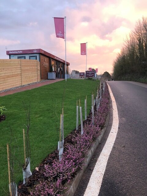
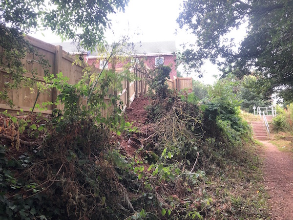
Eastern fields is a much used and valued green space between Exhibition Way and Harrington Lane, Pinhoe Exeter. It is surrounded by housing estates and industrial land. It has been used since the 1950’s for informal recreation. In recent years the city council has spent thousands of pounds in planting young trees to encourage wildlife and these areas of trees are growing well and the birds, insects and animals have all moved into their new habitat. It also has a new and much used cycle path linking two primary schools as well as other destinations and is valued for the safety and peacefulness of the route. It is a tranquil and pleasant environment. It is a place where children have played for generations, whether ball games or building dens. Eastern Fields is a green space in an urban environment. It is valued for all the benefits that green and open spaces give to people.
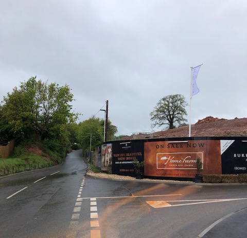
There are massive developments planned for the eastern side of the city and Eastern Fields will be even more needed as green space. The area is important to our community and we do not want to lose it. It is a unique and beautiful place and part of our local history. Our city council is planning a link road through the field as well as industrial development on the lower half. We do not believe it is necessary to have industrial development on this land given the extent of land in the surrounding area already being developed for industrial use. Neither do we believe that the proposed road would solve Pinhoe’s traffic problems to the extent that merits the loss of such valuable recreation land and wildlife habitat. As people and residents who value the field we are therefore campaigning to try to preserve and protect it.”
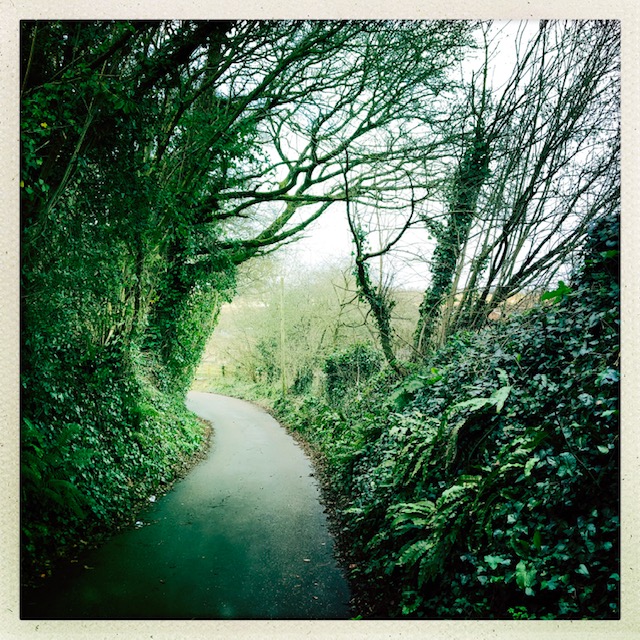
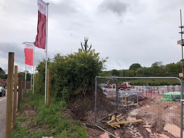
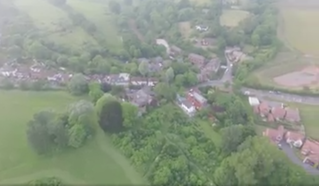
The campaign video has some brilliant shots of the connection to Cheynegate Lane and you can just about see the walk to the top fields >
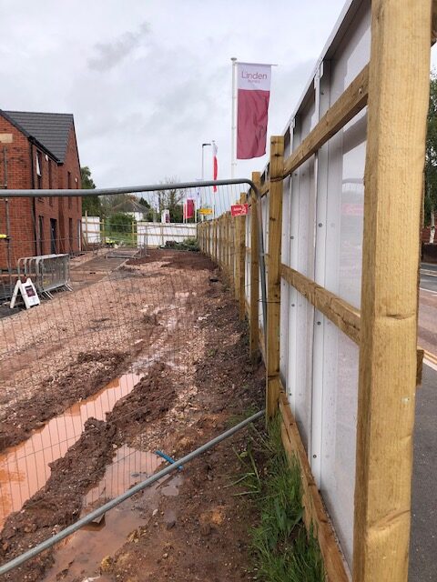
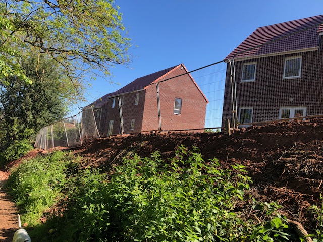
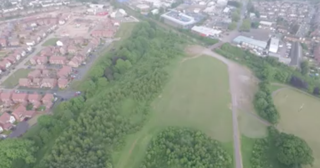
You can also see the connection through to the business park, with a clear view of the track for the proposed Highways Link Road >
We’re looking for documents which evidence the process of campaigning, as well as Council planning and appeal – please get in touch if you can help with this #localexpertise! mail@portfoliofive.co.uk