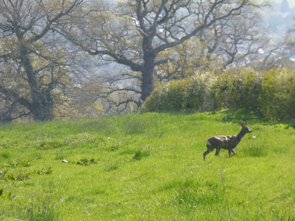
Fields connecting wildlife habitats across the city’s Northern Hills remain under sustained threat from development
In 2021, Pinhoe Forum proposed a Ridgeline Park to connect Pinhoe’s beacon fields to Exeter’s Valley Parks at Mincinglake, also to Poltimore and the Clyst Valley Regional Park in East Devon. As a protected wildlife corridor across the distinctive landscape of the Northern Hills, with local accessibility and wellbeing at the core of the proposal, a Ridgeline Park would protect the connection to an extended network of walks and trails, including the Two Counties Way which reaches from the Devon coastline to Somerset.
Taking a strategic approach to landscape protection, this project would establish a “natural asset network” of historic lanes, public green spaces, footpaths and bridleways which could be placed at the core of a community-led approach. This vision for the Park as a community asset would open new avenues for funding and infrastructure investment.
THE MISSING LINK:
Here’s a map of Exeter’s Valley Parks: there’s an obvious gap at Pinhoe
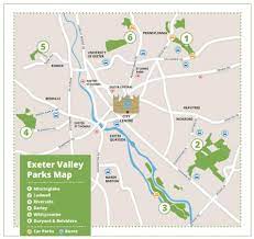
Look closely at Exeter’s Green Circle Walk: cutting across the edge of Mincinglake Valley Park, skirting Whipton and Beacon Heath – there’s no connection with the Northern Hills across the north eastern edge of the city
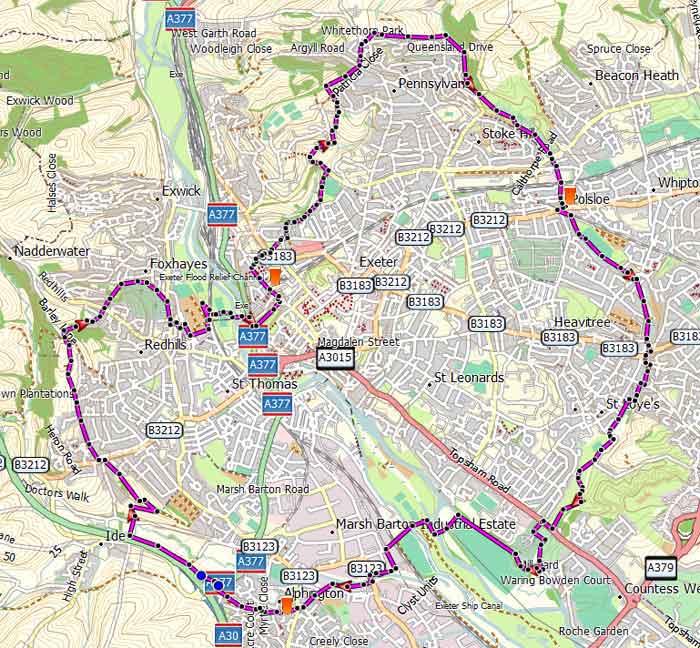
Now take a look at the Clyst Valley Park: a framework for a Nature Recovery Network reaching all the way up to the edges of Pinhoe >
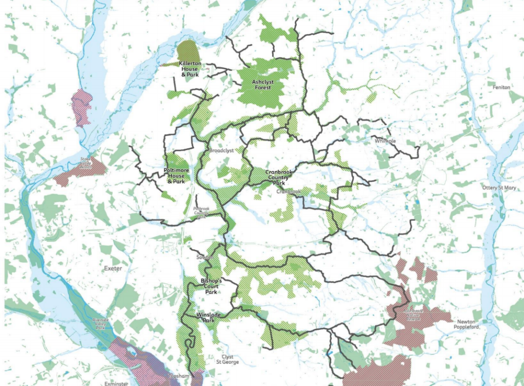
Pinhoe’s petition presented a new vision to Exeter City Council’s Strategic Scrutiny Committee: for the distinctive landscape of the city’s Northern Hills to connect to the nature recovery network of the Clyst Valley Park and the urban nature network across Exeter along the Green Circle and the city’s Valley Parks.