Hedgerows – documenting the loss

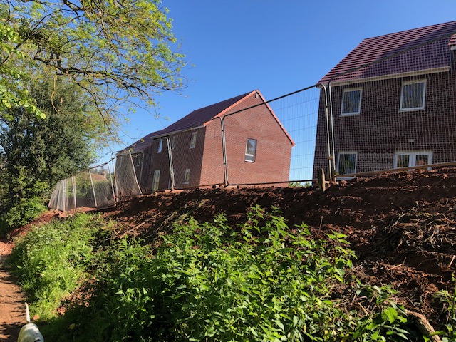
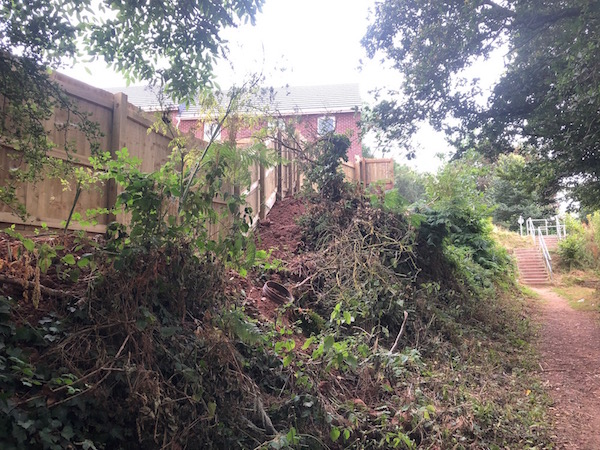
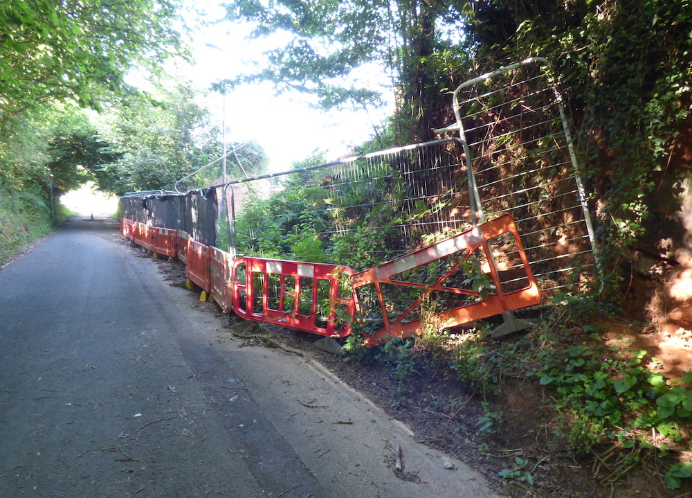
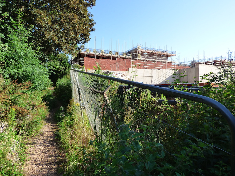
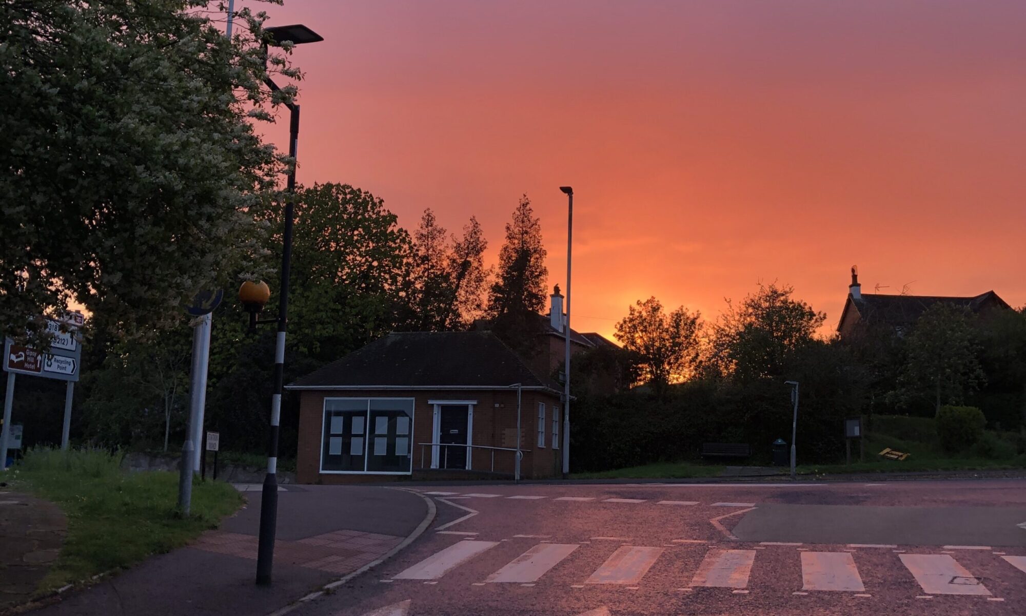
Historic green infrastructure being replaced by development across Pinhoe:

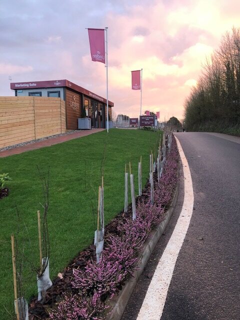
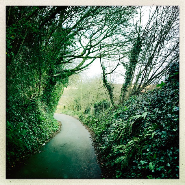
1. SANDROCK SITE : LINDEN HOMES
Planting to replace high Devon hedgerow: compared with original hedge shown here opposite the development

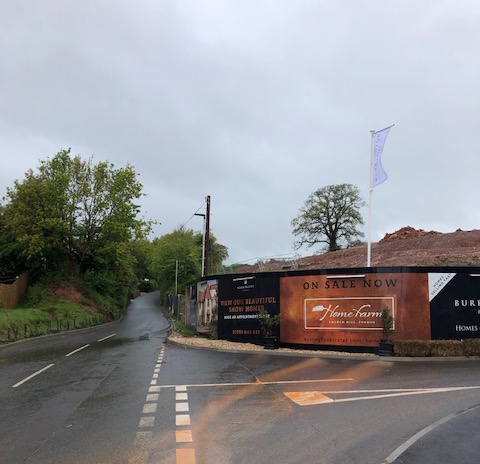
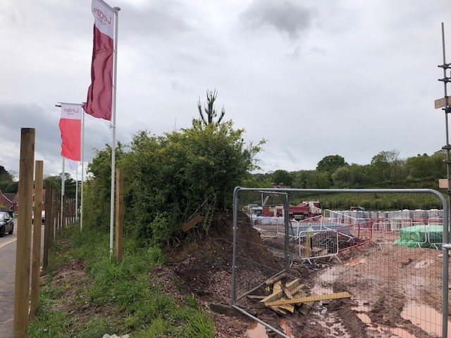
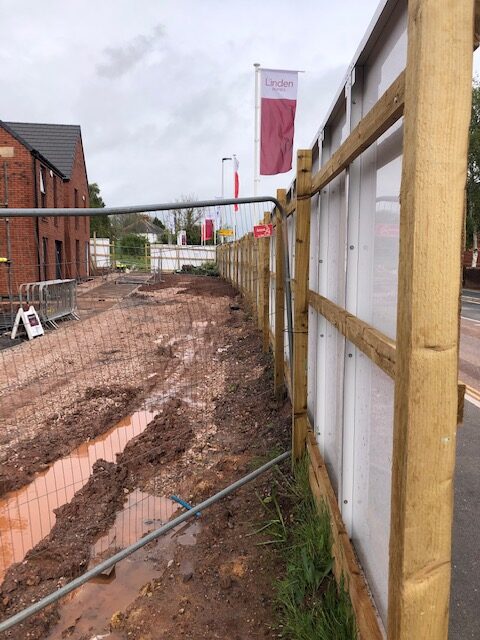
2. CHURCH HILL SITE : BURRINGTON ESTATES > HOME FARM
Planting to replace high Devon hedgerow – 13 May 2021, see also the isolated oak tree on the skyline: Pinhoe Tree Watch

High Devon hedgerows featuring integrated Oak Trees, lining this important walk to Pinhoe’s Church

3. CUMBERLAND WAY SITE: TAYLOR WIMPEY > MAYFIELD GDNS

8th Feb 2020 / trees lining site along Pilton Lane, also documenting tree loss across the site including Brookhayes’ orchard planting in memorium of local teachers
The original wildlife-rich hedgerow connecting Harts Lane to Pilton Lane

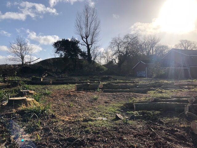
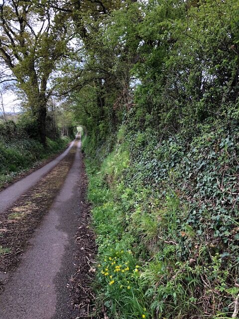
4. HARRINGTON PARK SITE: LINDEN HOMES / LIVE WEST
Major sections of hedgerow boarded up and removed along Harrington Lane (24May21). This follows the removal of trees lining Harrington Lane earlier in the year which resulted in calls from residents reporting problems with distressed and disorientated birds (mainly covids).

This section of hedgerow was boarded up straight after this photograph was taken
This boarding has been removed to reveal newly turfed front gardens up to the pavement (July 21)

5. PINNCOURT LANE: BLOOR HOMES> Proposed Pinn Court Farm development

Hedgerows lining fields along Pinncourt Lane, to the rear of Parkers Cross Lane, Pinn Valley Road and Ross Close

Part of our report on green infrastructure across the ward area: developing a timeline of photography as a cumulative body of evidence contributed by the community in a citizen science approach. Please email YOUR photos to: mail@portfoliofive.co.uk

Lower Gypsy Hill Lane

Part of our report on green infrastructure across the ward area: developing a timeline of photography as a cumulative body of evidence contributed by the community in a citizen science approach

Section of Lower Gypsy Hill Lane removed by Linden Homes
Substantial sections of hedgerow have removed and not replaced on the lower footpath

Note: steep concrete steps interrupt the lane to make way for the main Tithebarn Way road. This makes the route inaccessible for many local residents

Historic lanes connecting Monkerton

FAILURE OF FORMAL PROTECTION : Latest photos evidence the terrible state of hedgerows bordering the Sandrock site in Monkerton.
Part of Pinhoe Forum’s report on green infrastructure across the ward area: developing a timeline of photography as a cumulative body of evidence contributed by the community in a citizen science approach

Extension of Pinn Lane accessible to walkers and cyclists / photo credit: Bene Bennett

These sunken lanes form a wildlife network that once connected to the Monkerton Ridgeline; now they have been breached, broken and on one border, entirely – and illegally – removed during nesting season. When Pinhoe’s City Councillor David Harvey brought this illegal activity to the attention of authorities including Exeter City Council’s planning committee, the ‘lack of evidence’ was noted and dismissed without action.

Gypsy Hill Lane – wildlife corridor and historic footpath now dominated by development

Protection for local green infrastructure and the importance of landscape sensitivity in this development area was formalised in the Monkerton and Hill Barton Masterplan, approved by ECC in 2010 as “a framework to guide the future development of a sustainable urban extension to the north east of the city”. The rural character of Monkerton was to provide ‘a guide to how each part of the area should be developed in order to create a distinctive and diverse development that responds to the areas unique location and character’.

The Masterplan specified:
retaining and positively integrating the sunken green lanes as a unifying network within development
positively incorporating mature trees and hedgerows/hedgebanks as a part of development or green infrastructure, helping to create a permanence and richness to the environment
Full document available here: https://exeter.gov.uk/planning-services/major-schemes/monkerton-hill-barton-masterplan/