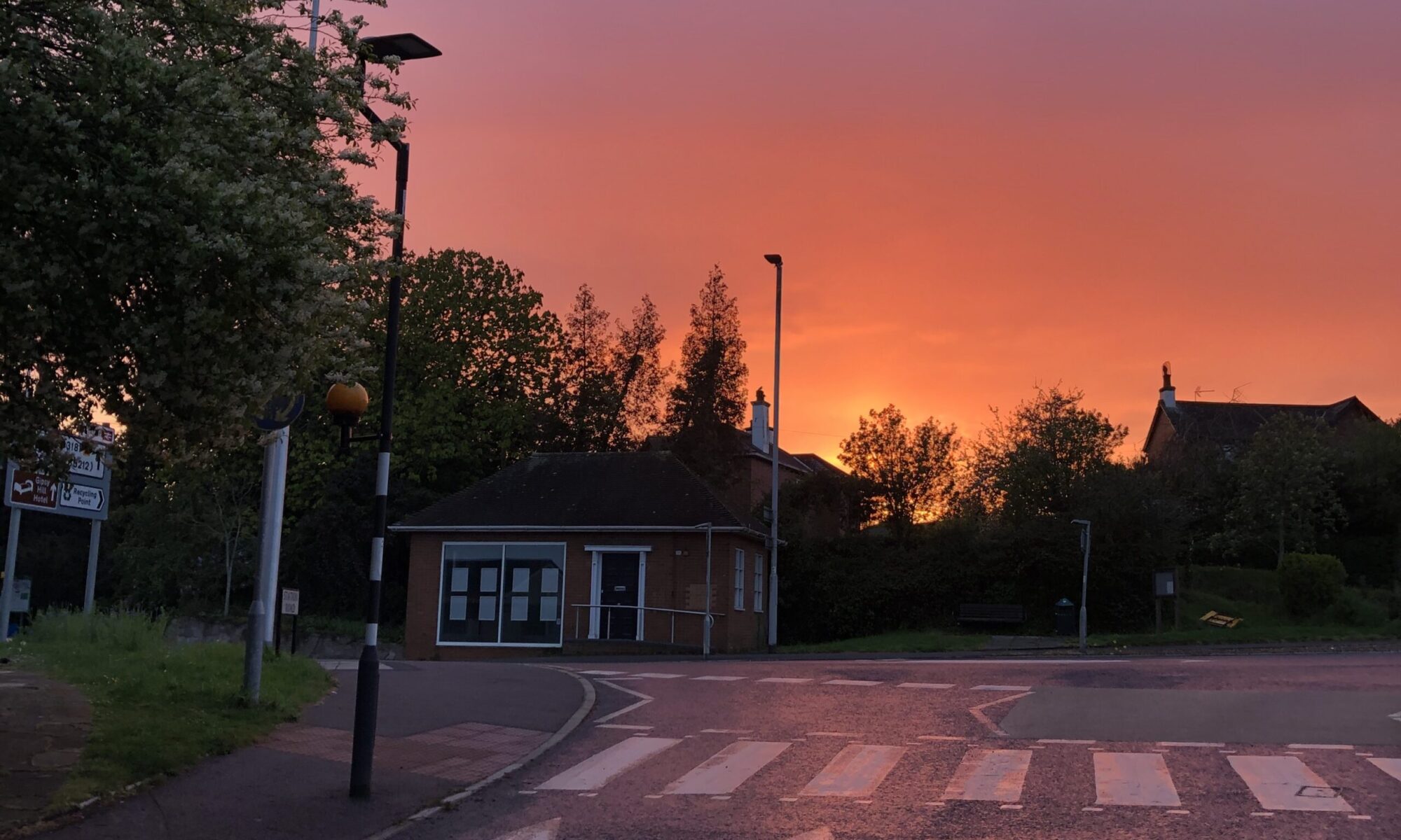
The campaign begins HERE > Trees, hedges and fields along the top of Pinhoe are full of history, from Armada Beacons to Saxon Hoards and battle sites. They’re a network for wildlife and safeguard biodiversity in bramble-wild spaces.
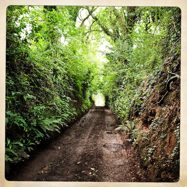
Cheynegate Lane, tracking along the boundary fringe, is a magnificent holloway and one of the very few remaining (almost) intact in Pinhoe. Along its edges you can trace evidence of the Crackington Formation: deep time geology connecting all the way to the Jurassic coast, with resources of clay famously exploited by Pinhoe’s Brickworks.
The top of the village has magnificent views of the Exe estuary, which often surprise visitors from the rest of the city. When the wind blows in, you can breathe the sea air.
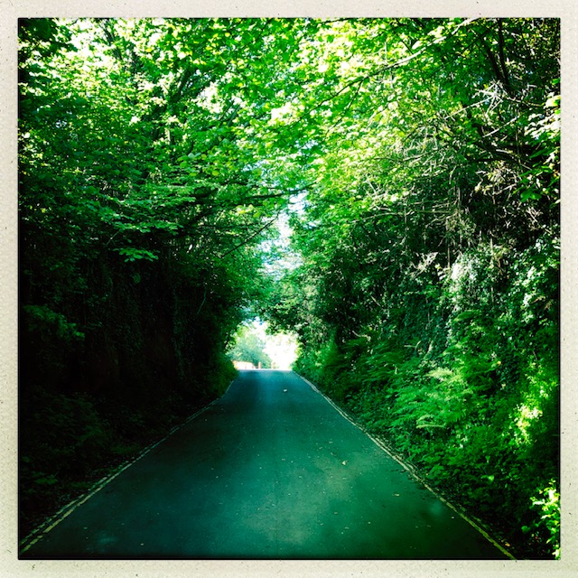
Local people walk these fields every day. Paths and bridleways are well worn and much loved. There are footpaths connecting to Beacon Heath, lined with fantastic high Devon hedgerows bursting with biodiversity along a quiet road which would make a wonderful Green Lane.
That’s why our campaign begins here: to protect these natural resources for all our community we need a STRATEGIC PLAN.
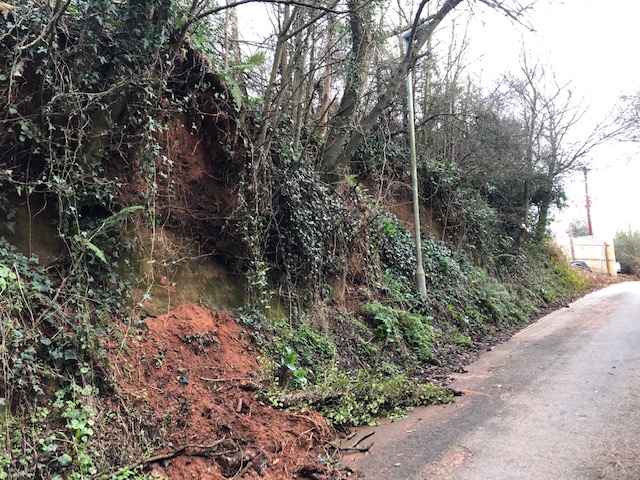
BUT THE CAMPAIGN IS FOR ALL OF PINHOE > Take a look at the holloway in Monkerton, along historic Pinn Lane which has been cut in two, cutting off safe access for pedestrians and cyclists, degraded by developers loading soil to its edge until sections collapse.
And Gypsy Hill Lane – look at the concrete steps which cut this historic path in two! The road at the top is one of the main routes into East Devon and was designed, agreed and put in place by the Monkerton Masterplan.
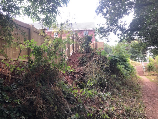
If you have photos to document the destruction of Pinhoe’s network of historic paths and hedgerows, please get in touch: mail@portfoliofive.co.uk
