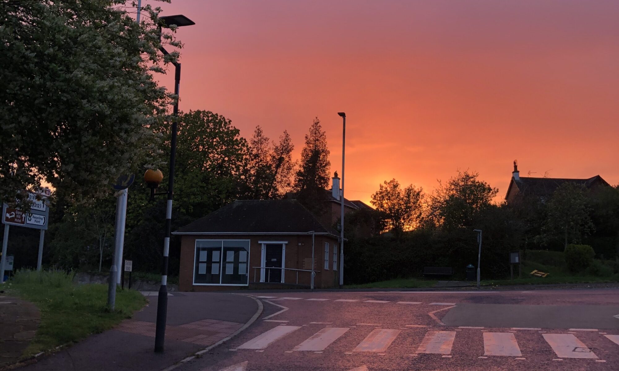
INTRODUCTION
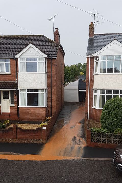
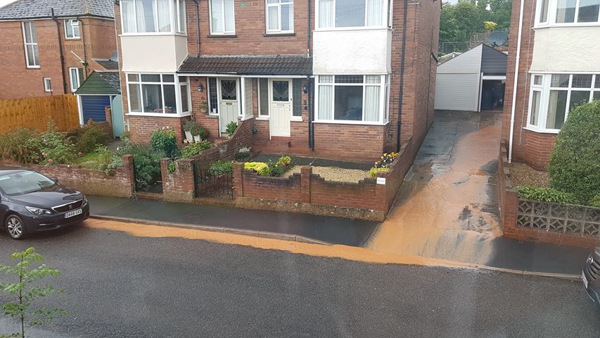
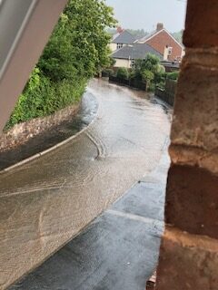
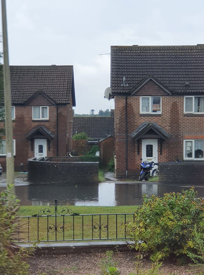
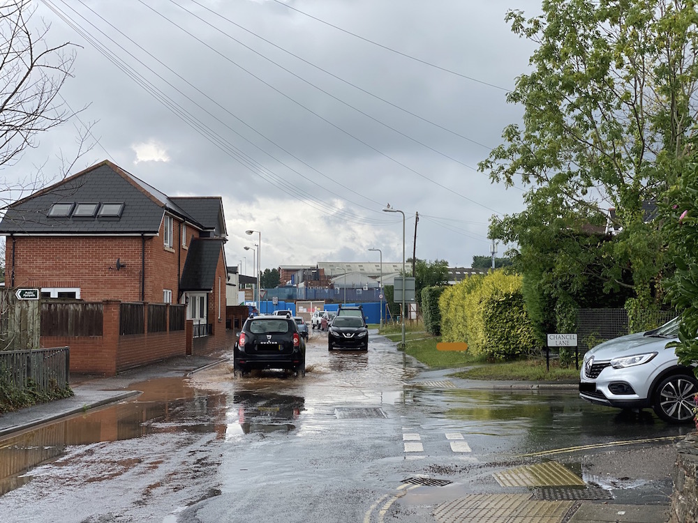
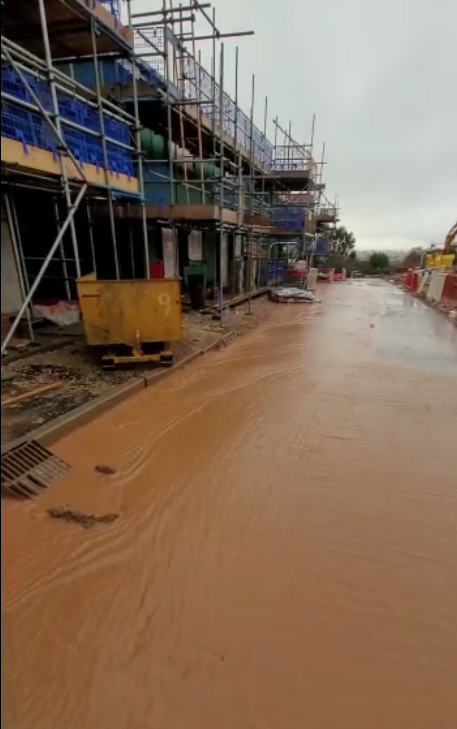
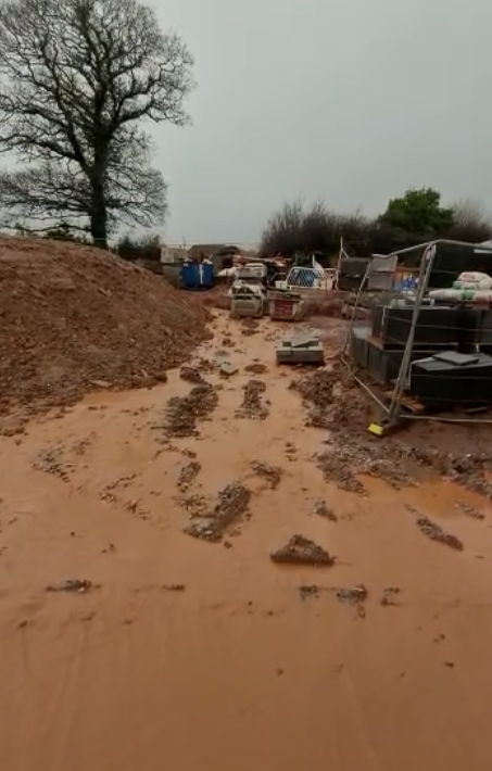
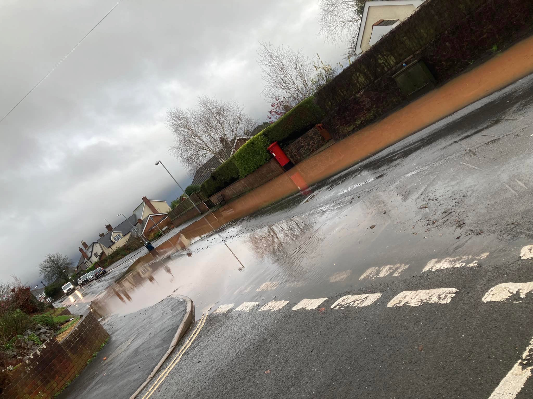
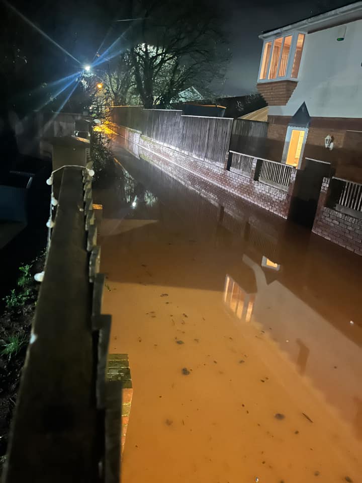
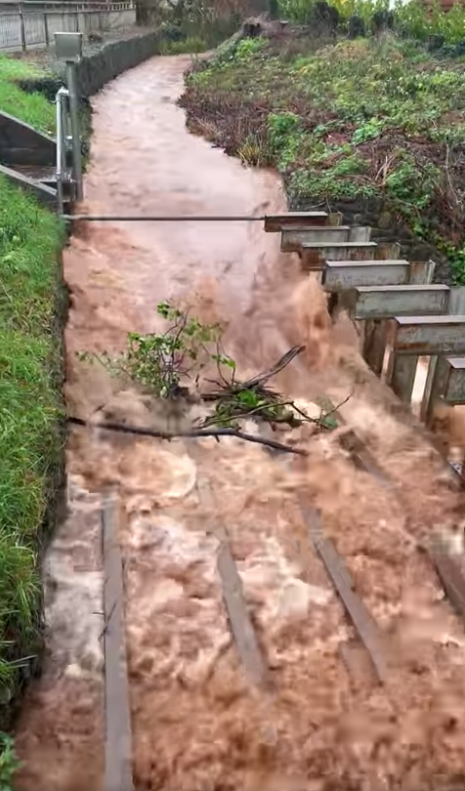
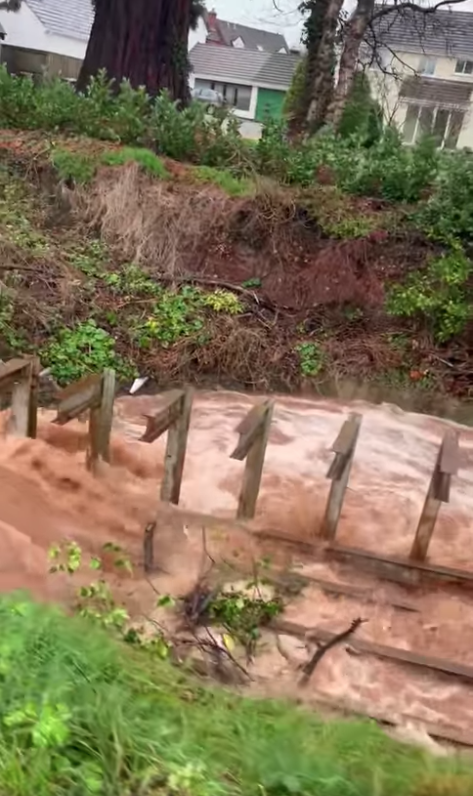
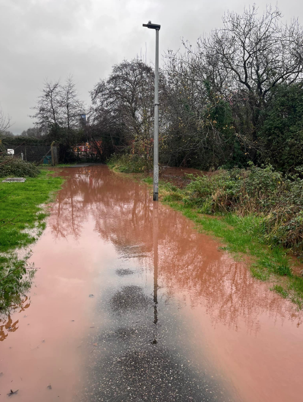
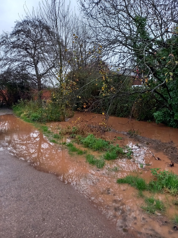
Our document shows a range of flooded streets across Pinhoe as documented by residents over a two year period: August 2020 to end July 2022.
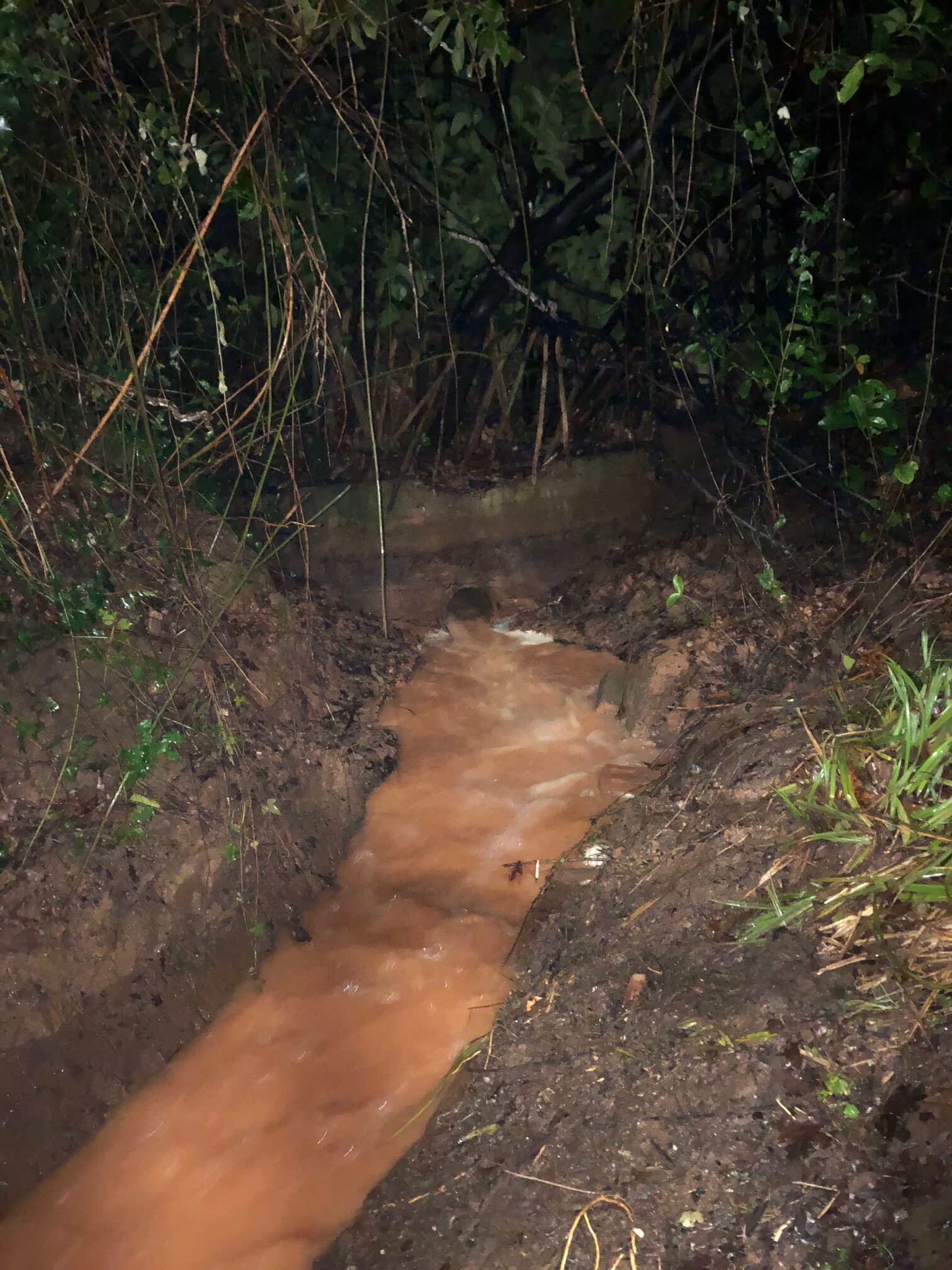
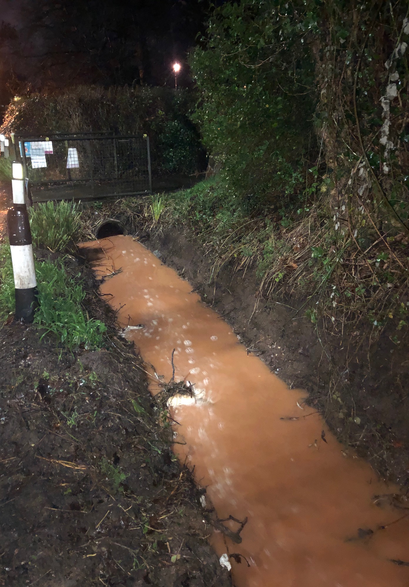
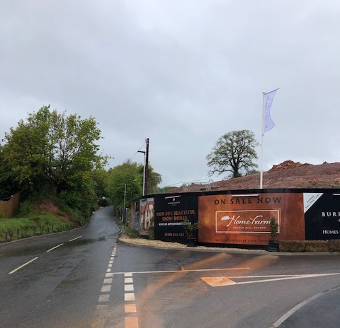
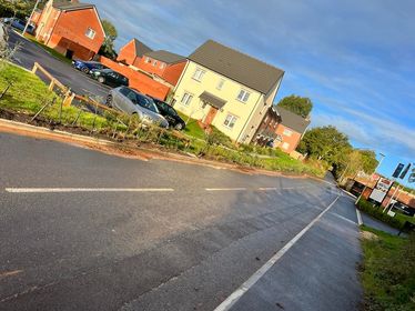
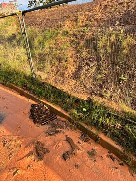
The current Home Farm development sits immediately below Higher Field. Flood water empties into Church Hill and Danesway, before travelling down Station Road, Causey Gardens and into Causey Lane. Drains are regularly blocked by silt and sediment. Flood waters also empty into Harrington Lane, De La Rue Way and Lower Harrington Lane by Pinhoe Library (Main Road).
When the network capacity is flooded it affects Pinn Brook across the area including Venny Bridge, through Station Road Playing Fields and into Monkerton via Old Pinn Lane. The impact of sediment pollution on Pinn Brook waterway and environmental receptors along its nature network is yet to be investigated.
CONTEXT
Pinn Brook is classified as a Main River and is managed by the Environment Agency; it is the major watercourse in Pinhoe. Higher Field lies within the Pinn Brook catchment area.
NOTE 1: As reported in the RB Nelder Trust and Waddeton Park Ltd Statement of Community Involvement 2013 > “Residents expressed concerns about additional flooding and storm drains which cannot currently cope with the amount of run off – the new development would significantly increase this.” Mrs Pike: “We are concerned that the developer will be taking out swathes of Devon hedgerows and mature trees if he widens the road as he will need to do to get a decent span on the road. How much habitat will be lost?”
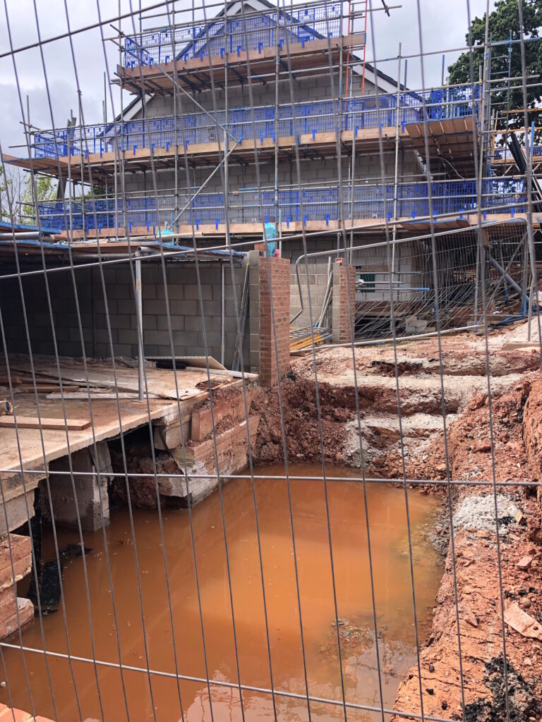
NOTE 2: Following a month of dry weather with limited rain, photo evidence was submitted after limited rainfall on 23 July 22, showing water accumulating in the underbuild of the coach house, one of the final properties being built on Home Farm site near Church Hill, three units down from Higher Field.

SUMMARY
• Evidence submitted by residents shows persistent flooding from the current Home Farm site.
• This flooding is damaging property and impacting road safety.
• As extreme weather events increase in regularity and severity, modelling exercises to develop flood plans and Strategic Flood Assessments will need to ensure protection for resident safety and property security across a wide area across Pinhoe, as this evidence demonstrates.
• Hedgerows and hedge trees provide excellent weather barriers and habitat for wildlife; as part of natural flood management they significantly increasing water infiltration rates into soil, reducing surface run off and overland flow. Hedgerows help to prevent soil erosion and stop soil sediment reaching rivers. The removal of multiple sections of tall Devon hedgerows is contributing to compromised effectiveness of water management measures on the current site. Further reduction of existing green infrastructure not only damages the character
of the natural landscape but would further exacerbate flood water flow.
• The case for the retention of Higher Field as protected greenspace, with enhanced protection for boundary hedgerows and field trees is made stronger by this evidence from our local community and more urgent by the undeniable impacts of climate change.
